Carbon project assessment, made simple for everyone.
Fast, satellite-driven eligibility and pre-feasibility screening for forest carbon projects.
Introducing SastenaScreen
Built on deep-learning models and real-time satellite data, SastenaScreen measures every landscape against the principles behind the world's leading carbon standards. Project developers get dependable accuracy, speed and integrity — because each site is tested against rigorous criteria, including Additionality and Permanence checks.
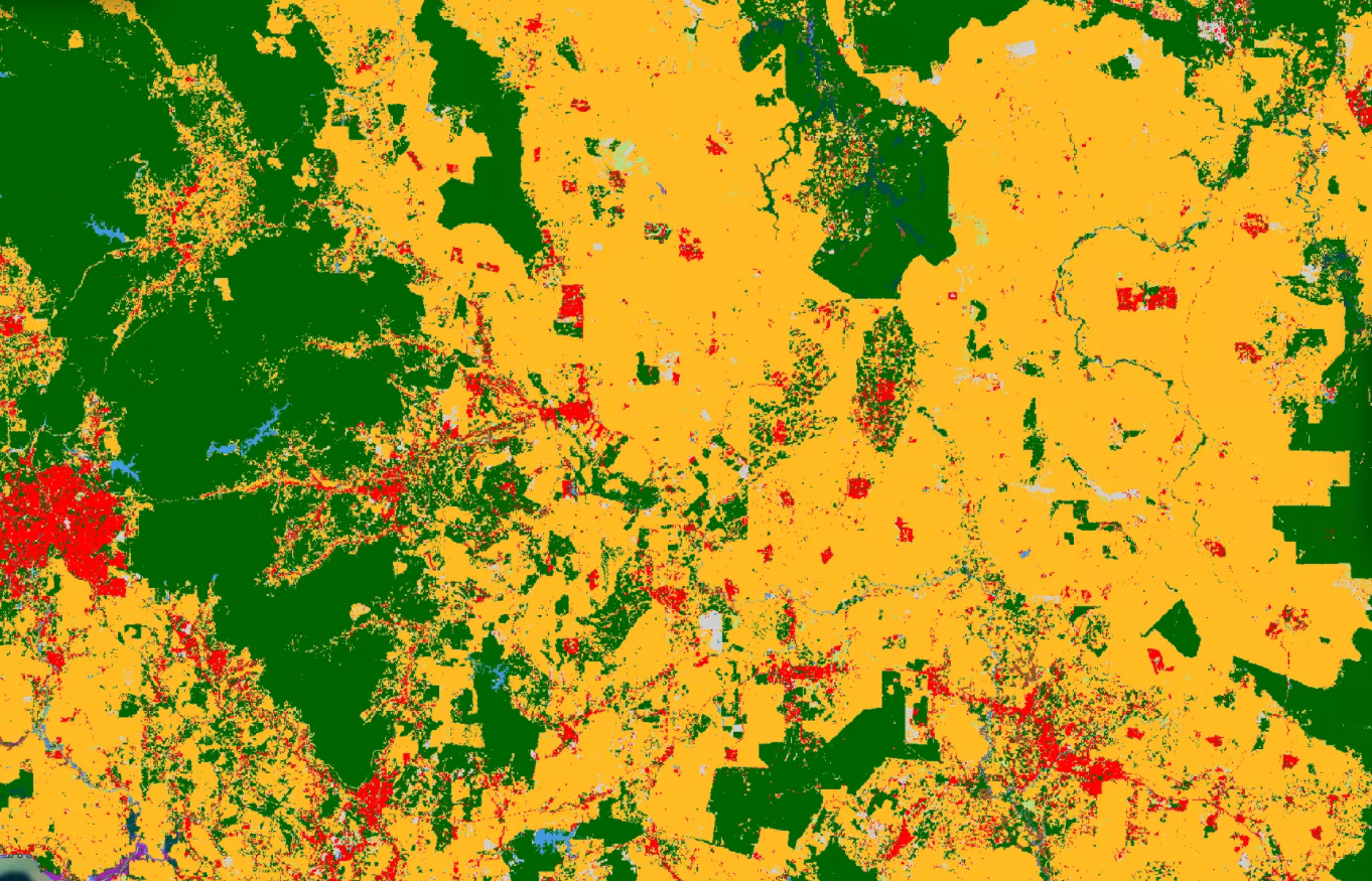
Read your land's potential on a single eligibility map.
A new lens on your concession. Break down land cover, spot ineligible zones, and see where your project can grow — long before you commit.
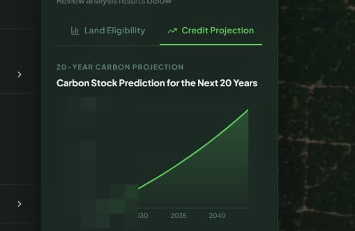
Get every number that matters, up front.
Clear visualisations of the figures you'll build a case on — from projected revenue to average annual VCU output, and everything in between.
Additionality and co-benefits that go beyond carbon.
Running a carbon project runs deep. From additionality ratings to peer benchmarks, SastenaScreen surfaces the metrics that reveal what makes your project distinct — well beyond the credits alone.

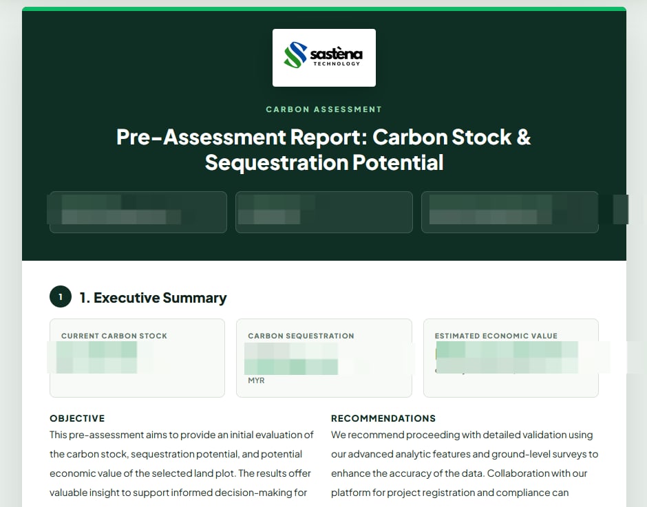
Take your project one step closer to validation.
Move seamlessly from on-screen analysis to formal, accountable documents — backed by a team of climate and forestry experts.
Join others driving the climate transition
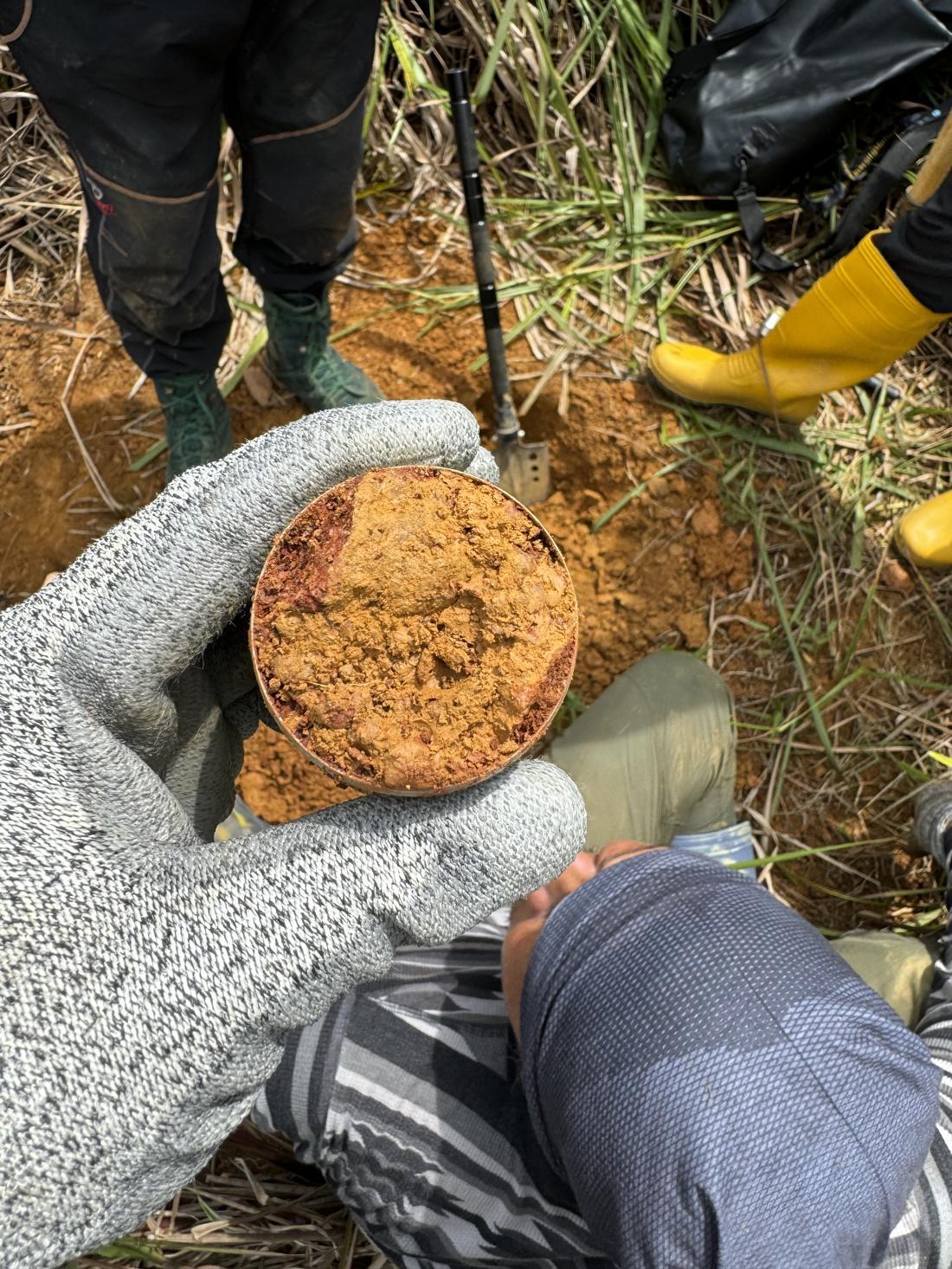
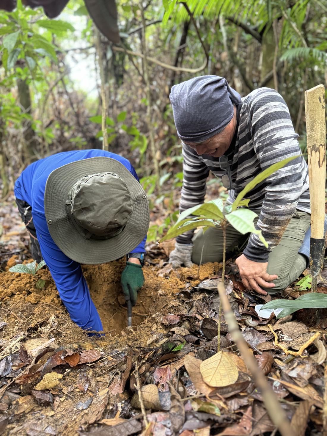
From smallholder plots to vast, dense concessions across Malaysia and wider region, we've assessed them all. Our nature specialists handle carbon projects of every size, density and background with ease.
Hectares of mangrove, peatland and lowland forest assessed across Malaysia and wider region.
Land and asset owners across Malaysia and wider region, from forest concessions to community forestry.
Go further with
Feasibility Study
and
Project Design Document
Make sure every metric meets the bar for carbon project validation — through a rigorous framework and structured, expert-led planning.
Frequently Asked Questions (FAQ)
Everyone has questions. Here are the ones we hear most.
SastenaScreen is Sastena's developer workspace for early-stage carbon project assessment. In one product, project teams can:
- Spin up a project and draw its boundary on a satellite map.
- Pull land cover, spectral indices and per-hectare carbon stock from satellite data.
- Step through the VM0010 methodology from start to finish.
- Run change detection, coastal classification and road detection where relevant.
- Generate a reviewable assessment report and submit it for VVB review.
What it leaves to the rest of the suite: long-term monitoring (SastenaMonitor) and funding or investor surfaces (SastenaInvest).
Just the basics — a project profile (name, location, methodology context) and a boundary you can either draw on the map or upload as a GeoJSON, KML or zipped shapefile. Document slots are optional at the start and can be filled in as the assessment progresses.
Submit the project for review and it routes to a VVB or admin reviewer with full traceability — boundary, satellite layers, carbon analysis, IFM calculations and the questionnaire all attached. Most teams then move into Sastena's Feasibility Study & PDD service, where field validation and methodology fit are confirmed.
The core carbon analysis and IFM methodology work on any forested polygon worldwide thanks to global Landsat coverage. The LULC change-detection layer is currently tuned to Malaysia (2017–2024), with broader Southeast Asian datasets next in line — talk to us if you have a specific region in mind.
Start assessing your carbon project today.
Be the change your landscape is waiting for.