
Estimated VCU Production
A comprehensive forecast of your project's potential VCU output.
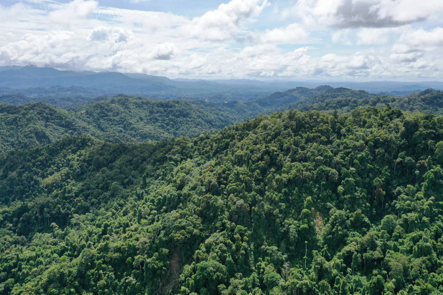
Pairing nature's intelligence with satellite, UAV and AI — turning living landscapes into measurable, high-integrity carbon impact.
See how we turn ground truth and geospatial data into meaningful, decision-ready insight.
A comprehensive forecast of your project's potential VCU output.
Carbon work that actively protects and restores the species that call the forest home.
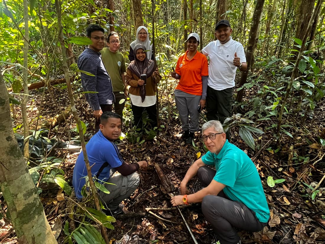
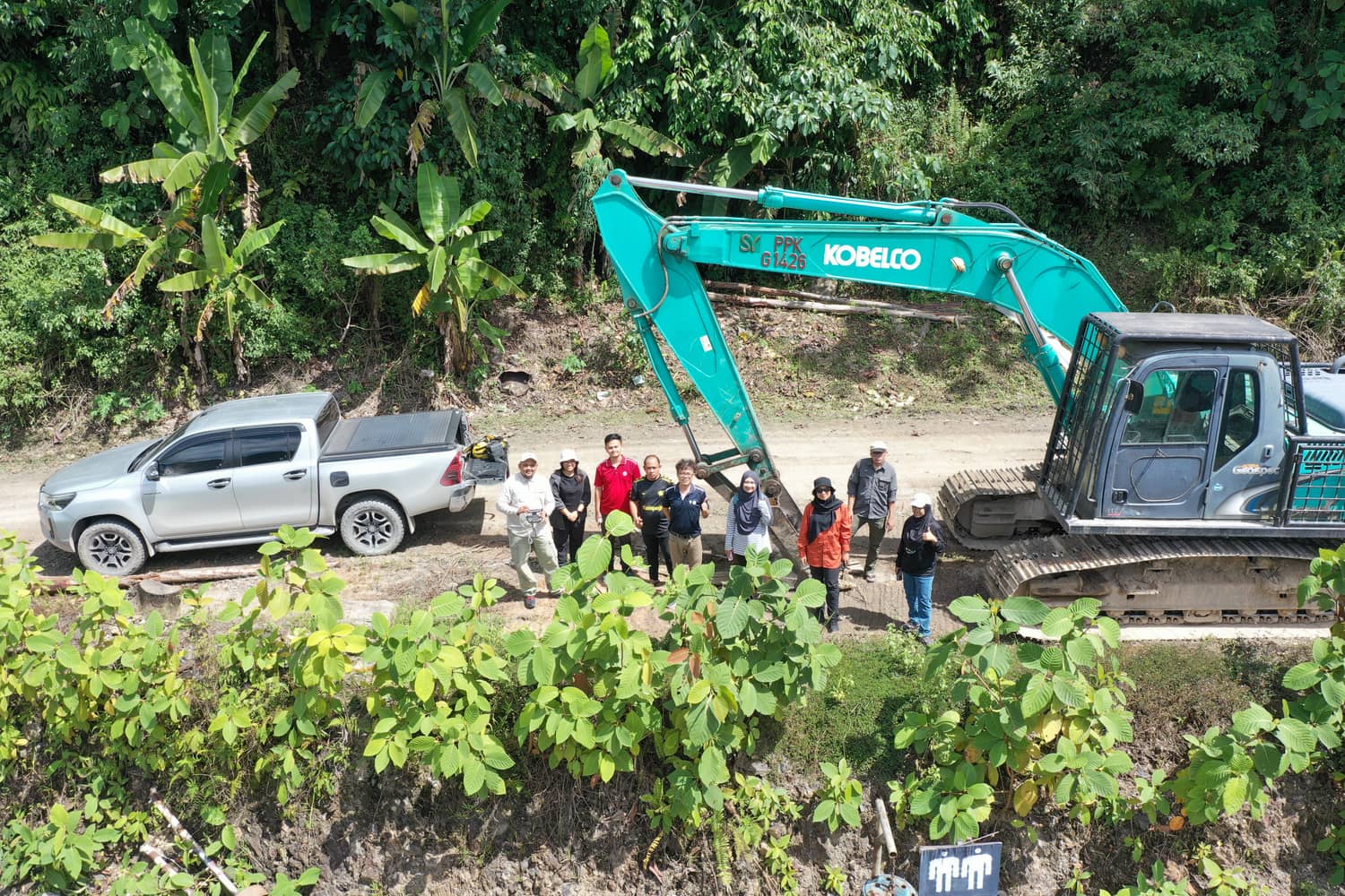
Collaborative, on-site programmes designed and run together with the communities who steward the land.
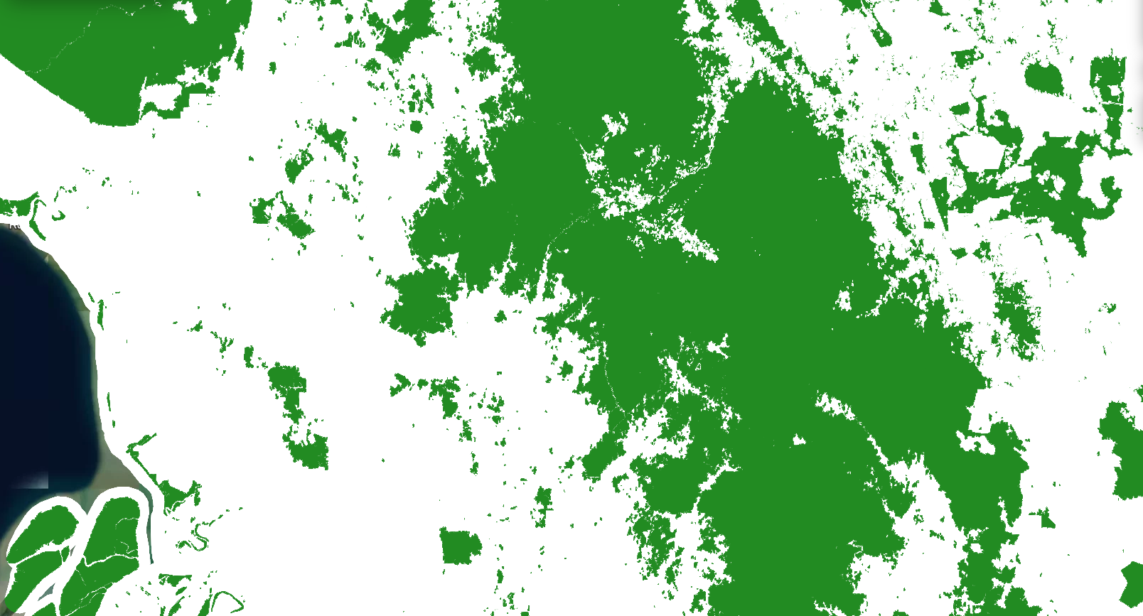
Foremost accuracy for carbon assessment in seconds
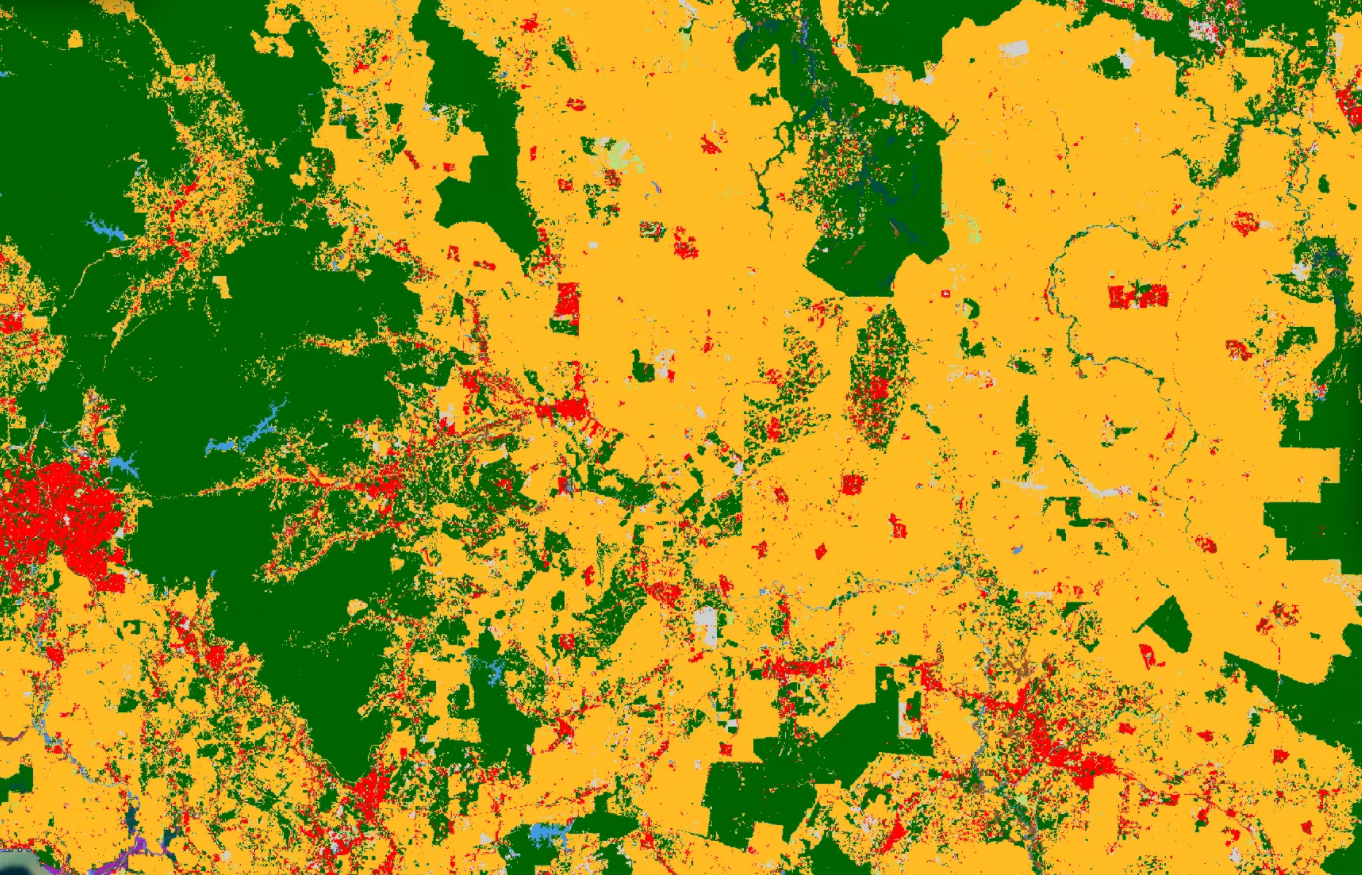
SAGE 2.0 is the technology foundation powering the Sastena product suite. Combining satellite imagery, UAV remote sensing, geospatial analytics and tropical forest-calibrated AI models, SAGE transforms complex environmental data into actionable carbon intelligence for project screening, development and monitoring.
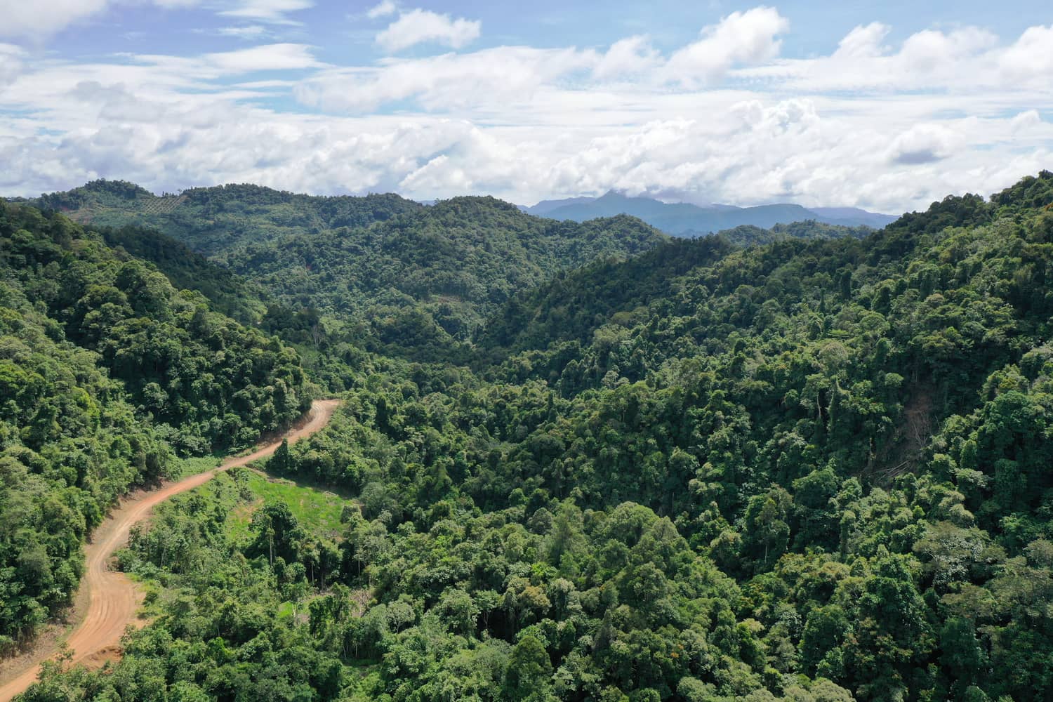
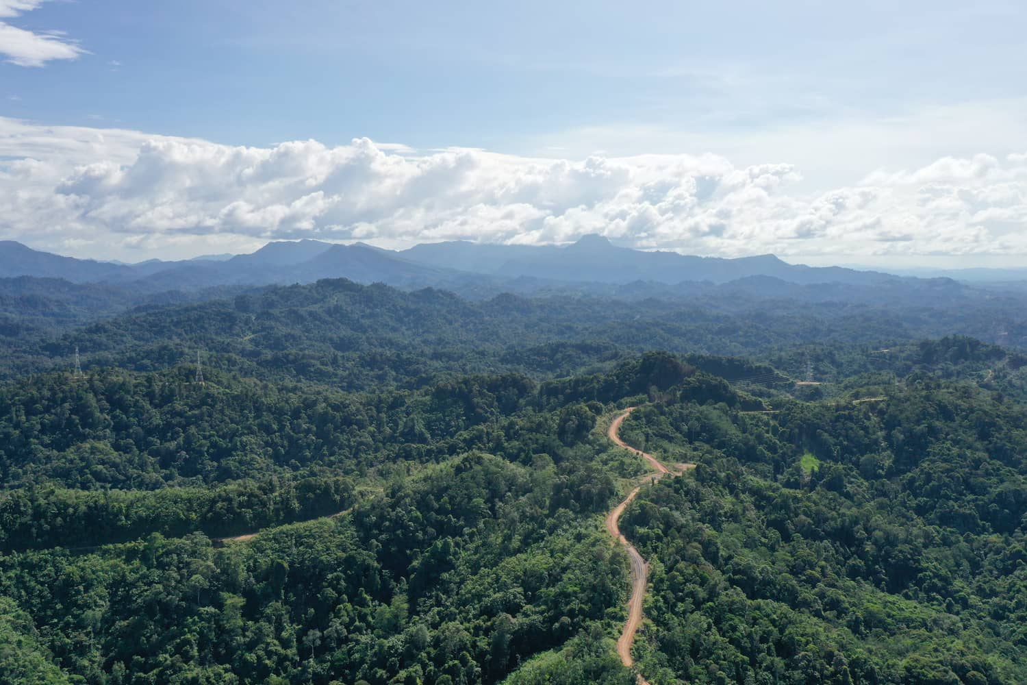
Field-validated models tuned for Malaysia
Built specifically for tropical forest ecosystems, SAGE leverages field-validated datasets, environmental variables and advanced machine learning techniques to estimate carbon stocks and forecast future sequestration potential.
Designed for Southeast Asian landscapes, the models capture variations in forest structure, biomass density and ecological conditions, enabling more representative and transparent carbon assessments for high-integrity carbon projects.
Satellite, UAV, terrain and environmental data — unified
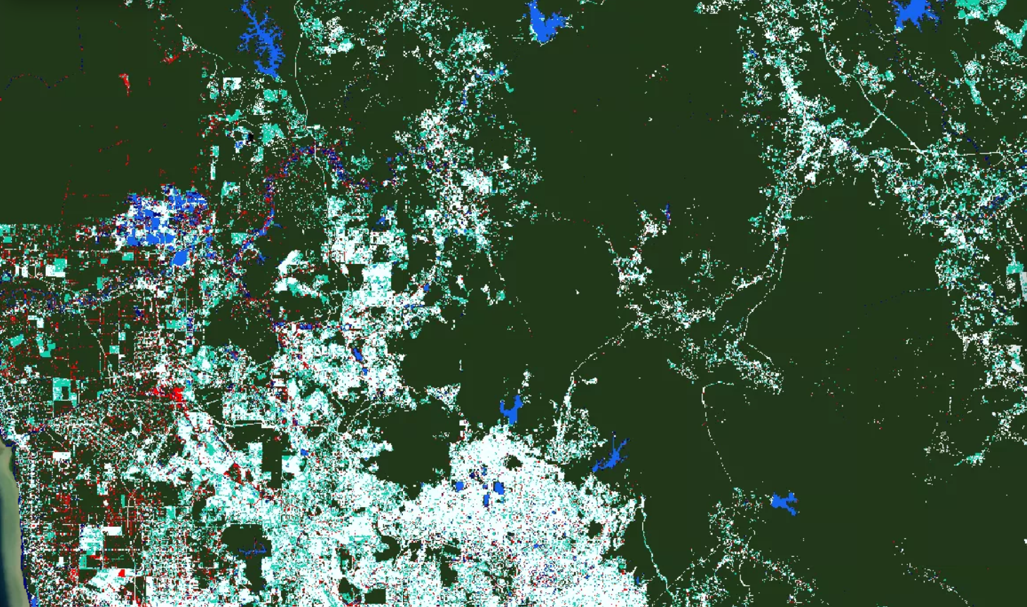
SAGE integrates satellite imagery, UAV measurements, terrain information and environmental datasets into a unified intelligence framework.
By combining complementary Earth observation sources, the platform delivers scalable wall-to-wall assessments for carbon estimation, project screening, risk analysis and long-term monitoring, helping organisations make informed decisions with greater confidence.