

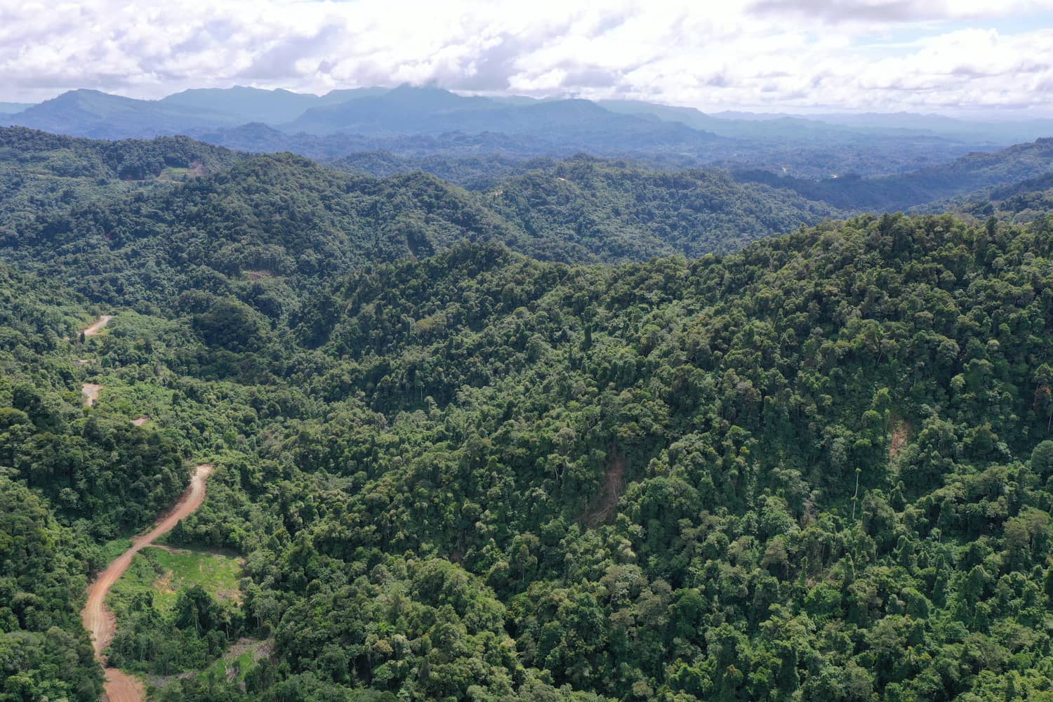

Verra’s VM0048 sits at the heart of a new generation of nature-based carbon projects — and for many landowners it still reads like a wall of acronyms and data rules. Strip that away, though, and the methodology is really about one thing: trust. In Malaysia’s fast-growing carbon market, trust is everything.
VM0048 standardises how avoided-loss and restoration projects establish their baselines, drawing on consistent, region-wide data rather than figures each developer selects for themselves. Here is what that means in practice — and how Sastena keeps every number tied back to the land it came from.
Why VM0048 matters
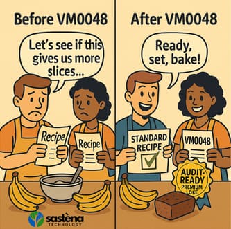
The core idea is standardisation. When two neighbouring projects measure the same forest in the same way, their results can finally be compared on equal terms — the carbon-market equivalent of baking from an identical recipe. That single shift unlocks several benefits.
Stronger buyer confidence
When auditors and credit buyers see consistent, transparent baselines across projects, confidence rises — and that confidence often translates into a price premium.
Fair baselines for everyone
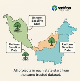
Previously, developers could choose their own deforestation data, which invited inflated numbers. Verra now designates one trusted data provider per region, so every project starts from the same point.
Faster project kickoff
Verra supplies the official data layers directly, cutting out the weeks usually spent sourcing maps or processing raw satellite files.
What it means for Malaysian projects
Malaysia’s mangroves, peatlands and dipterocarp forests store a staggering amount of carbon. Under VM0048, three things change for projects here:
- Mangrove and peatland projects. Whether you are restoring Matang’s mangroves or rehabilitating Sarawak’s peat swamps, every project in the same state uses the same baseline data — no more apples-to-oranges comparisons.
- Statewide harmony. Peninsular Malaysia, Sabah, Sarawak: one dataset per jurisdiction. Forestry officials and project teams all speak the same data language.
- Credit counts get real. Some projects may see fewer credits at first as inflated estimates fall away, but the credits that remain are far more defensible. Projects that were conservative all along may even see more.
How Sastena simplifies VM0048
Juggling baselines, satellite imagery and forecasts can feel like spinning plates. That is where we come in:
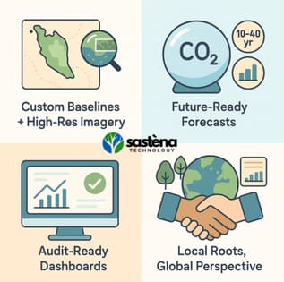
- Custom baselines and high-resolution imagery. We begin with rigorously, scientifically validated baseline data and pair it with our own high-resolution satellite and drone imagery — so your project’s foundation is as firm as the ground you are protecting.
- Future-ready forecasts. Our AI models look 10 to 40 years ahead, giving you a clear picture of how credits will play out under VM0048.
- Audit-ready dashboards. Real-time trackers and one-click report exports keep you verification-ready, impressing auditors and buyers alike.
- Local roots, global perspective. By partnering with local stakeholders, policymakers and NGOs, we turn data into action that makes sense on the ground.
Start your VM0048 journey
The Sastena team are carbon-modelling specialists based here in Malaysia. We handle the full journey — from rapid pre-feasibility checks and detailed feasibility studies to project design, verification prep and credit-issuance forecasts.