
AI-Powered Tropical Forest Carbon Intelligence & Automated MRV Platform
Built in Malaysia. Calibrated for Tropical Forests. Powered by Science.
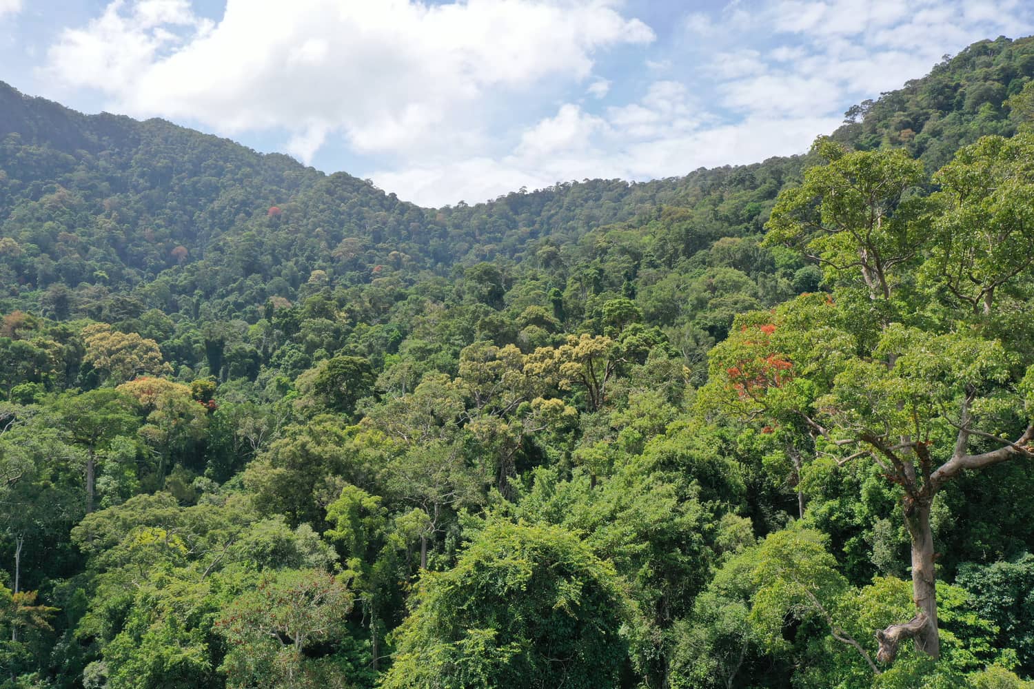
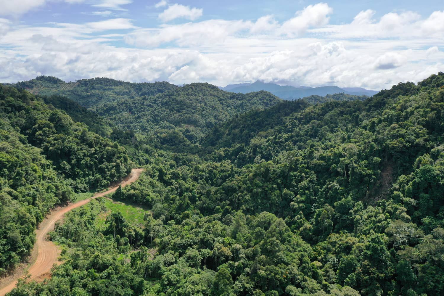
Combining AI, earth observation and scientific validation to provide trusted insights for the development, monitoring and investment of transparent, high-integrity forest carbon projects across Malaysia and the wider region.
Reliable Carbon Project Intelligence in Malaysia
Sastena helps project teams move from satellite pixels to boardroom-ready carbon decisions — pairing geospatial intelligence with real field validation across Malaysia and the wider region.
Advancing Transparency, Integrity, and Trust in Carbon Projects.
Strategic Partnership


Trusted by partners and institutions across the region


Why Project Teams Choose Sastena
Data-Driven Precision
Satellite, UAV and AI models turn raw landscape signals into decision-grade carbon and land-cover intelligence.
Explore More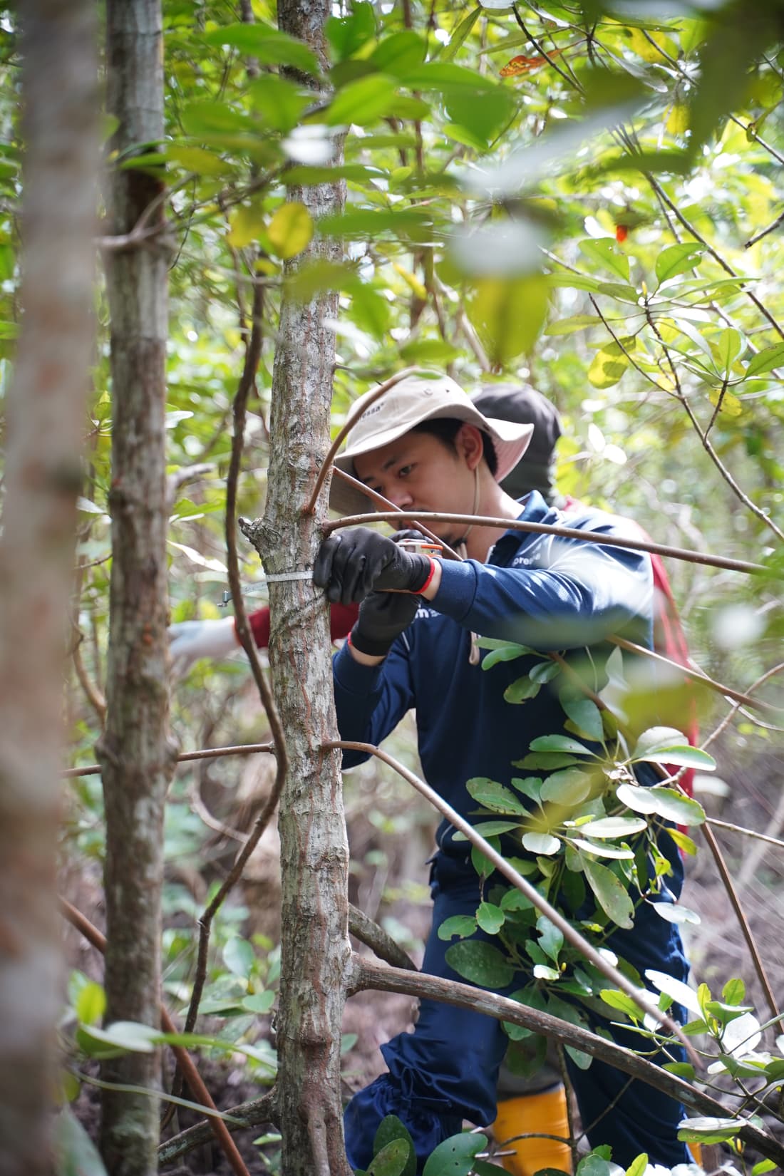
AI, Satellite & UAV Ground Truth
We pair remote sensing with real field validation, so every carbon figure traces back to verifiable ground evidence.
Explore More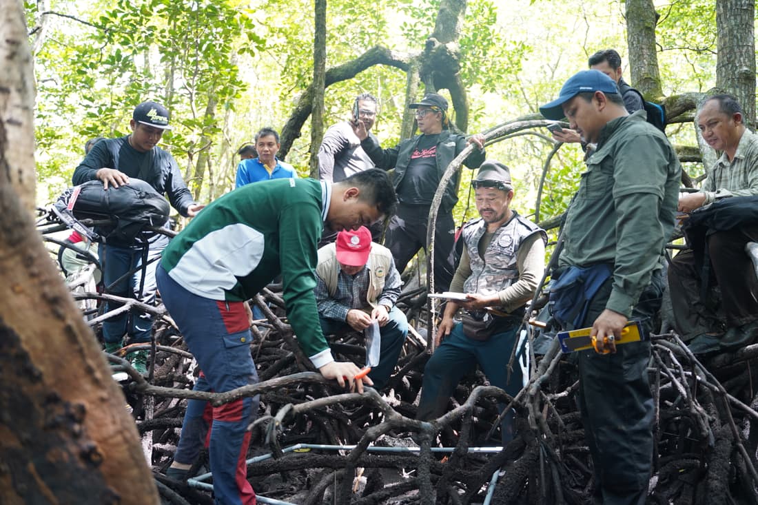
Community & Biodiversity First
Projects are designed around the people and ecosystems behind them — protecting biodiversity and local livelihoods.
Explore More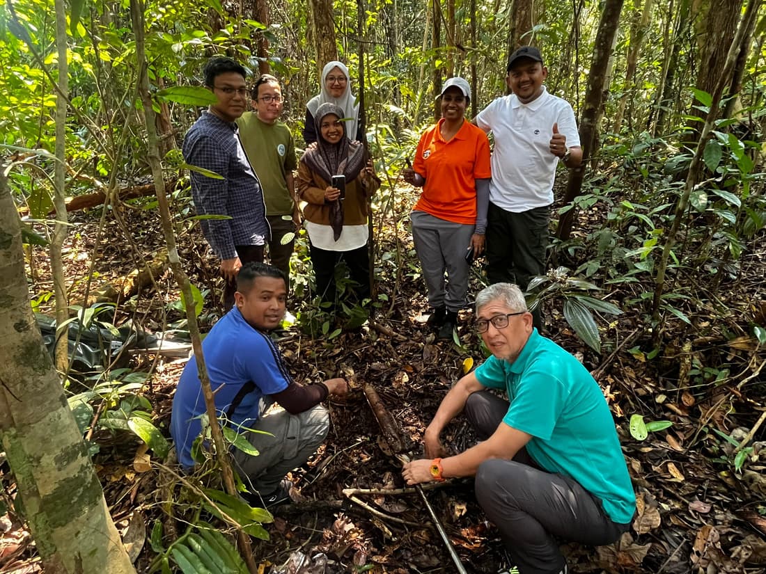
Local Expertise, Global Standards
Our field teams know Malaysian and Southeast Asian landscapes first-hand, and we align every project to global carbon standards — so your evidence holds up from the ground to the registry.
Explore MoreIntroducing SastenaScreen
Get early land eligibility screening insights - and turn digital evidence into on-the-ground decisions.
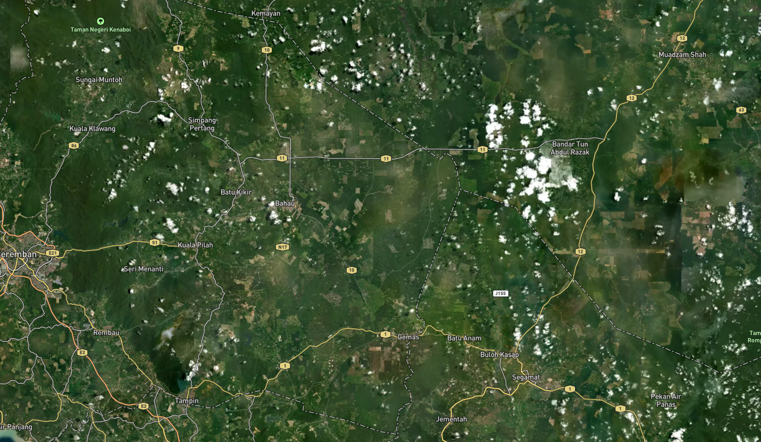 Satellite
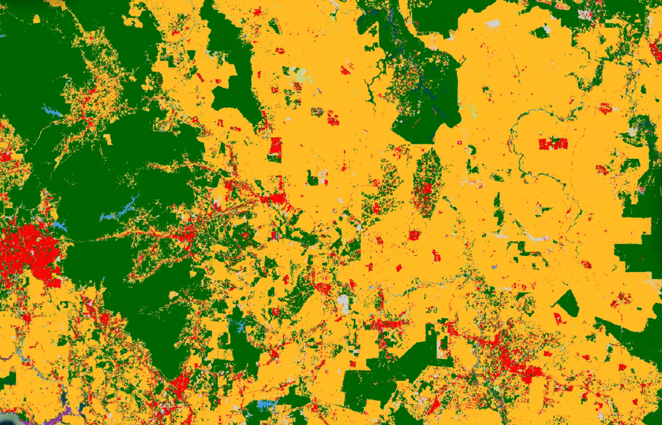
Classified Land Cover
Satellite
Classified Land Cover
Compare satellite imagery with classified land-cover insights
Drag the slider to compare satellite imagery with land-cover classification. SastenaScreen helps identify forest, crop, built-up, water and other land-cover categories to support early land eligibility screening.
- Forest, crop, built-up, water and other classes in one view
- The same scene, two views - just drag to compare
- Early land eligibility screening backed by classified map evidence
The Carbon Project Journey
Discover Your Project Potential
Powered by SastenaScreen
Get instant clarity on your land's eligibility, carbon potential, risks and financial forecast. Our AI runs a pre-feasibility screen and gives you the evidence you need to make a decision.
Use SastenaScreenBuild an Investment-Ready Design
Powered by SastenaDev
Translate field realities and methodology requirements into a coherent project design. Sastena turns ground evidence into a credible feasibility study and Project Design Document.
Start a Feasibility StudyMonitor with Confidence
Powered by SastenaMonitor
Build transparent evidence streams through repeatable remote sensing, field data and disturbance alerts — so your MRV holds up under scrutiny, season after season.
Explore SastenaMonitorTurn Evidence into Funding
Powered by SastenaInvest
Package project evidence into investment-ready clarity — milestone visibility, carbon revenue forecasts and the transparency investors need to commit.
Explore SastenaInvestSastena in Action
Methodology
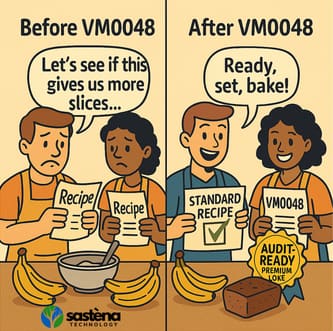
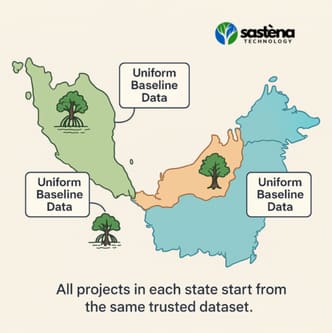
Adopting VM0048 for next-generation REDD+ carbon accounting
How Sastena is applying the latest consolidated REDD+ methodology to strengthen baseline integrity and MRV across tropical forest projects in the region.
Partnership
Sastena and Berjaya Corporation advance nature-based carbon in Malaysia
A landmark partnership bringing high-integrity, nature-based carbon and large-scale reforestation to degraded landscapes across Malaysia, backed by long-term stewardship.
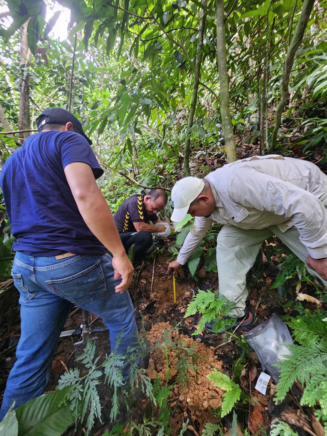
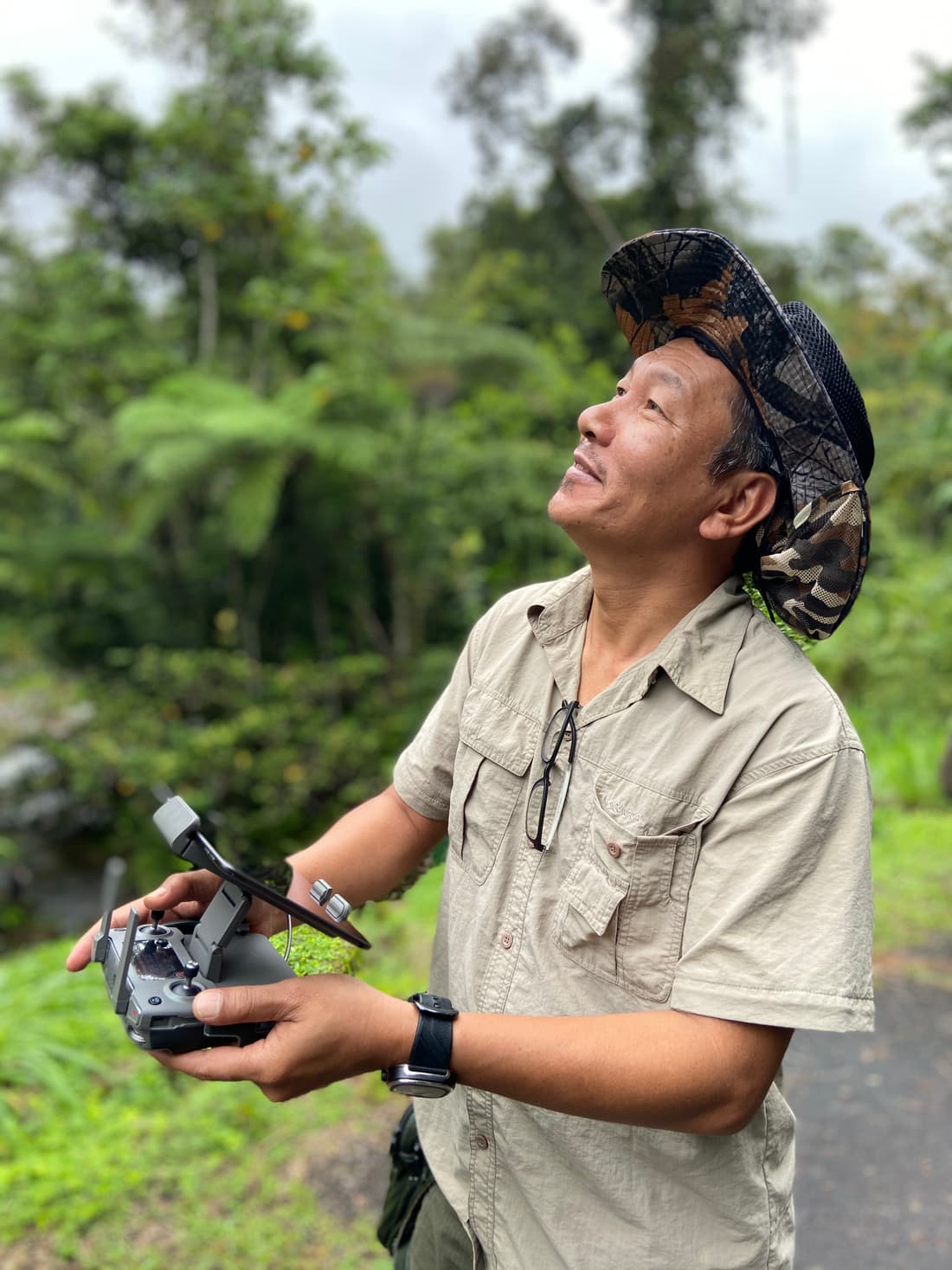
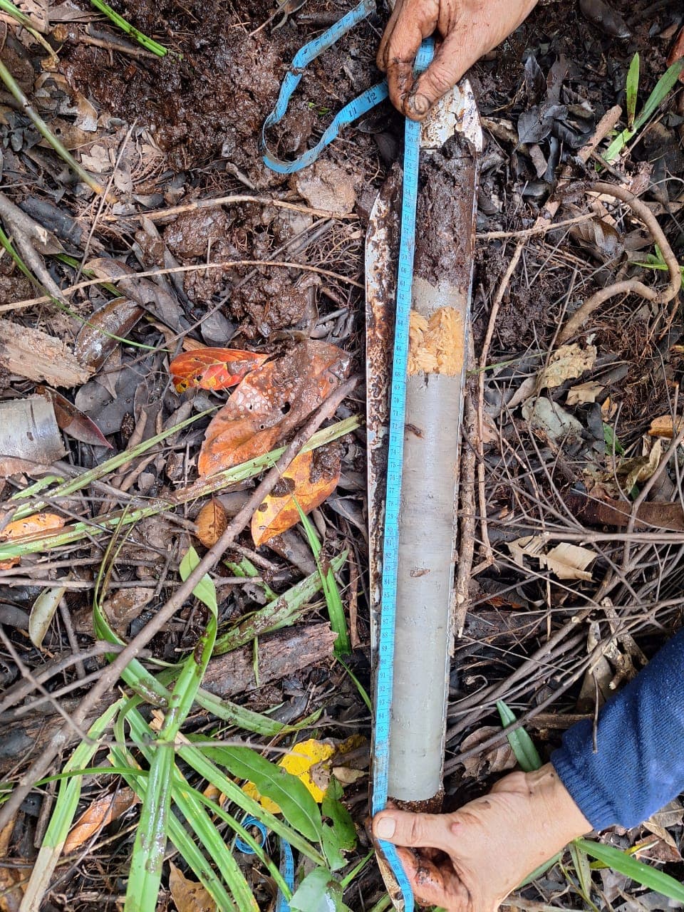
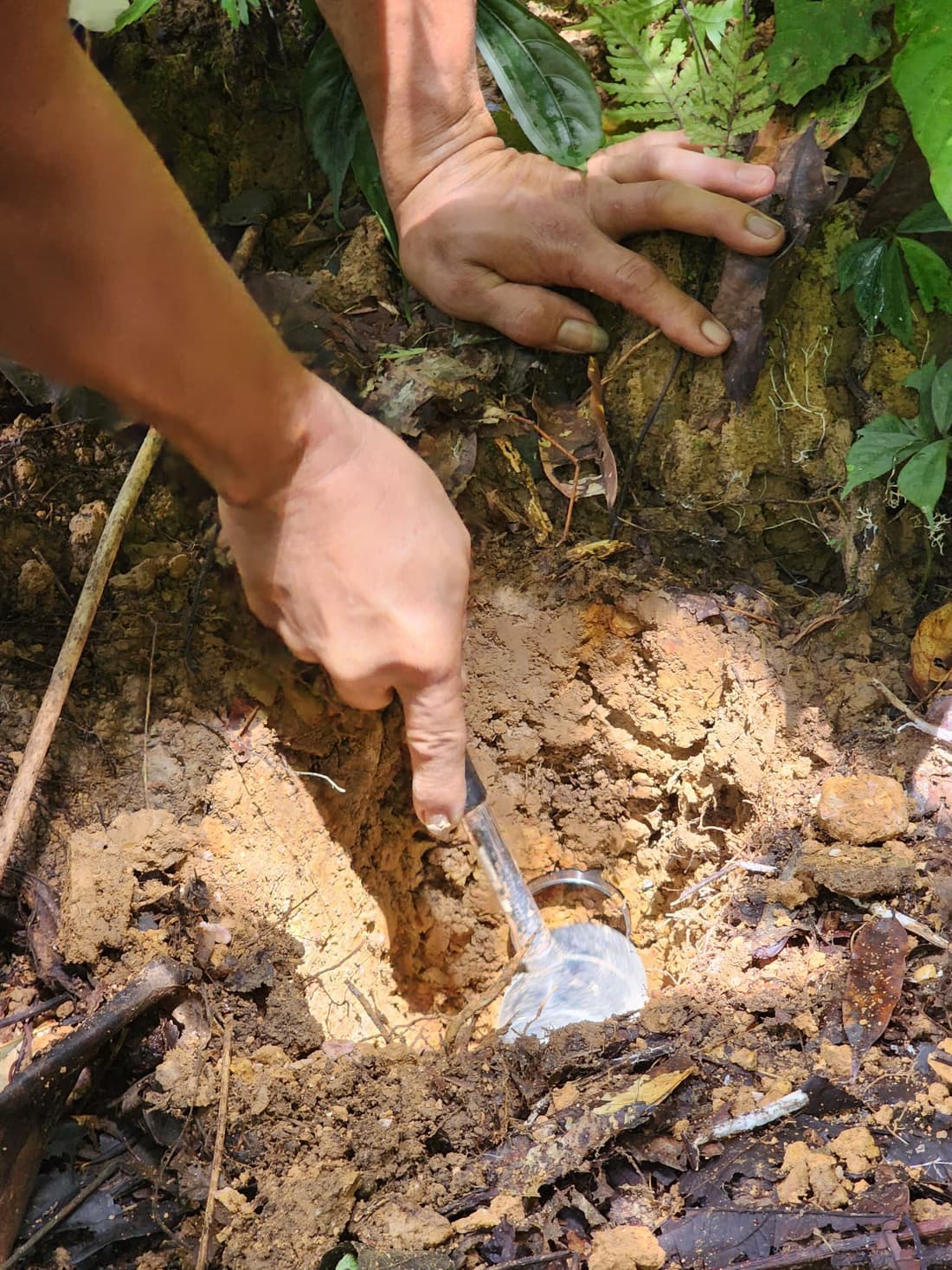
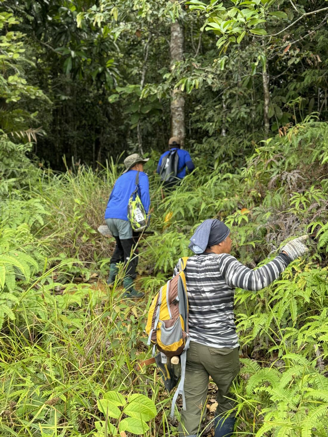
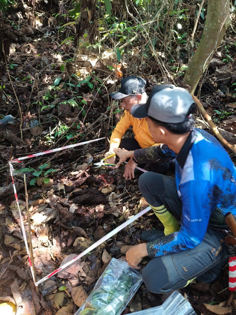
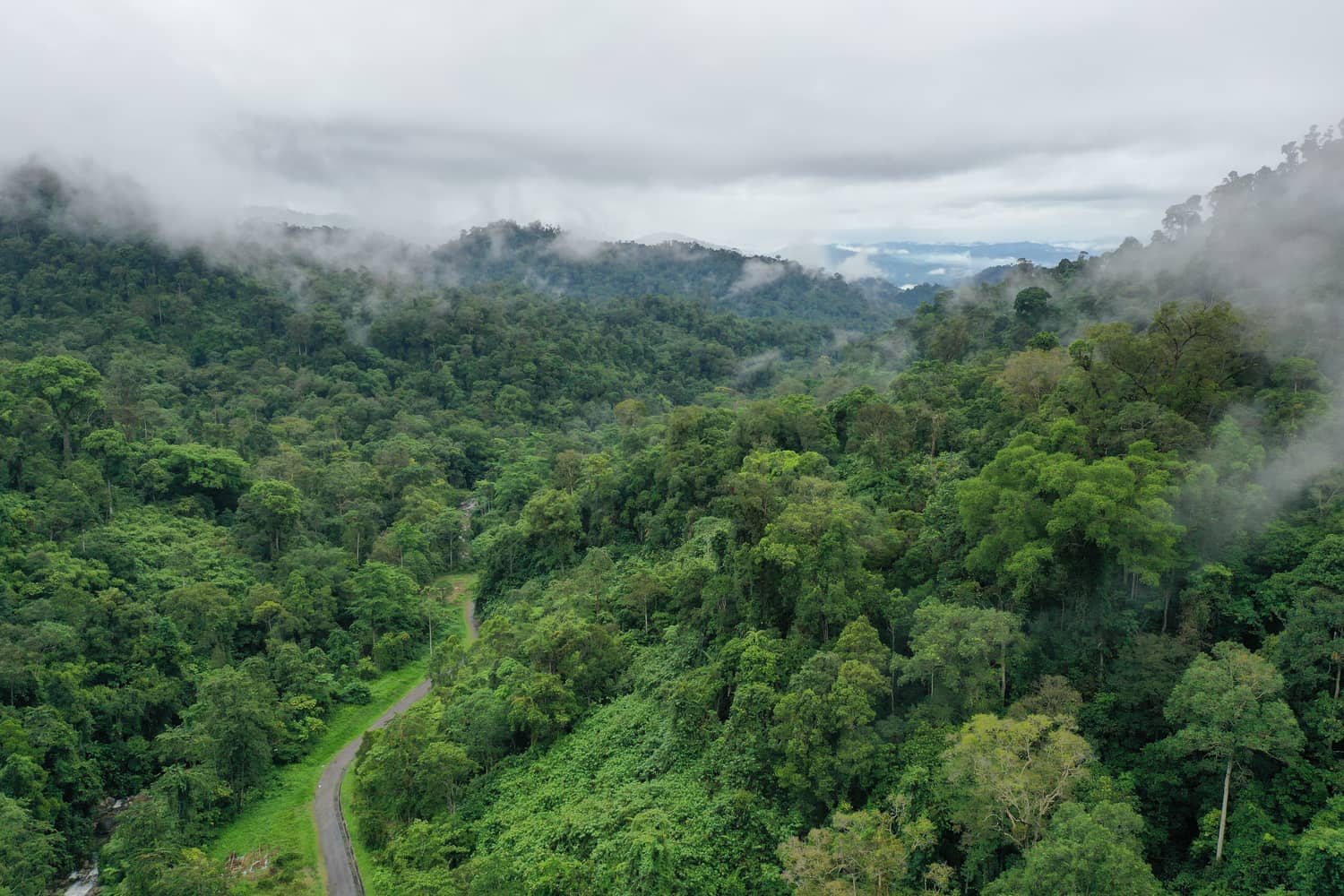
Field note
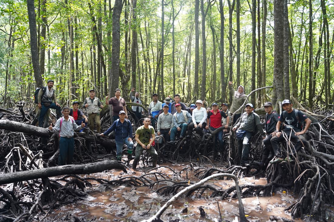
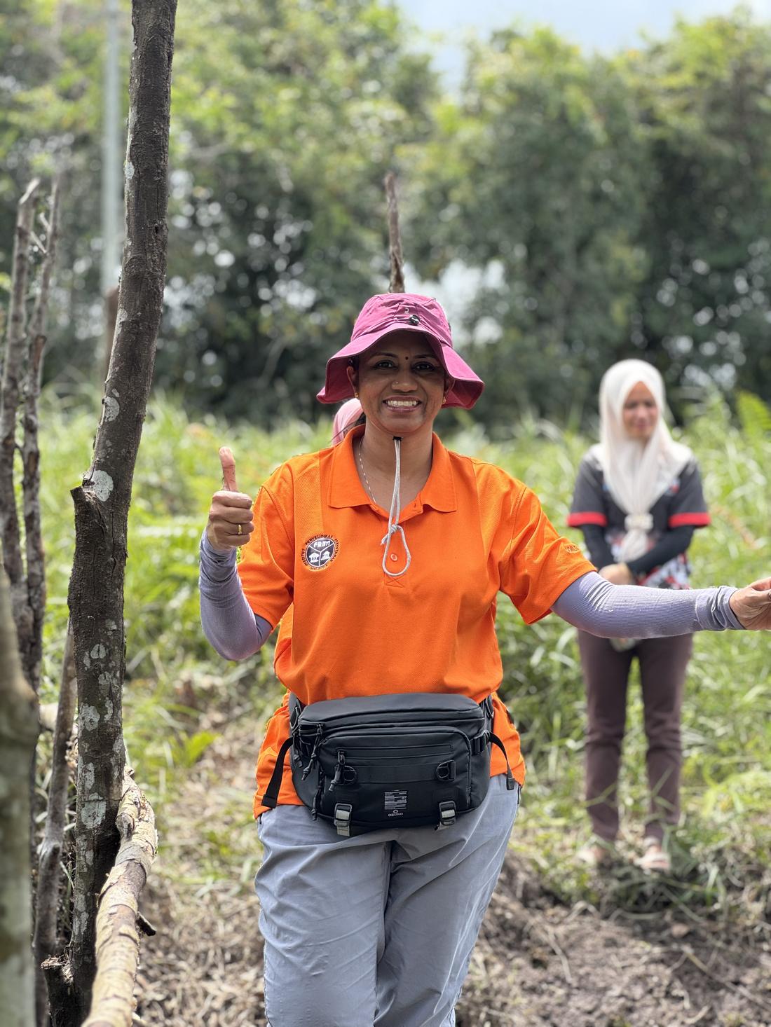
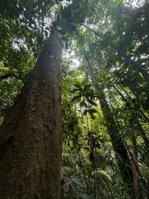
From satellite signal to ground truth: inside a Sastena field campaign
Pairing satellite signals with on-the-ground plots and drone surveys — how our field teams turn raw imagery into a carbon dataset you can trust.
Ready to Accelerate Your Carbon Project?
Submit your project, or speak to our experts.